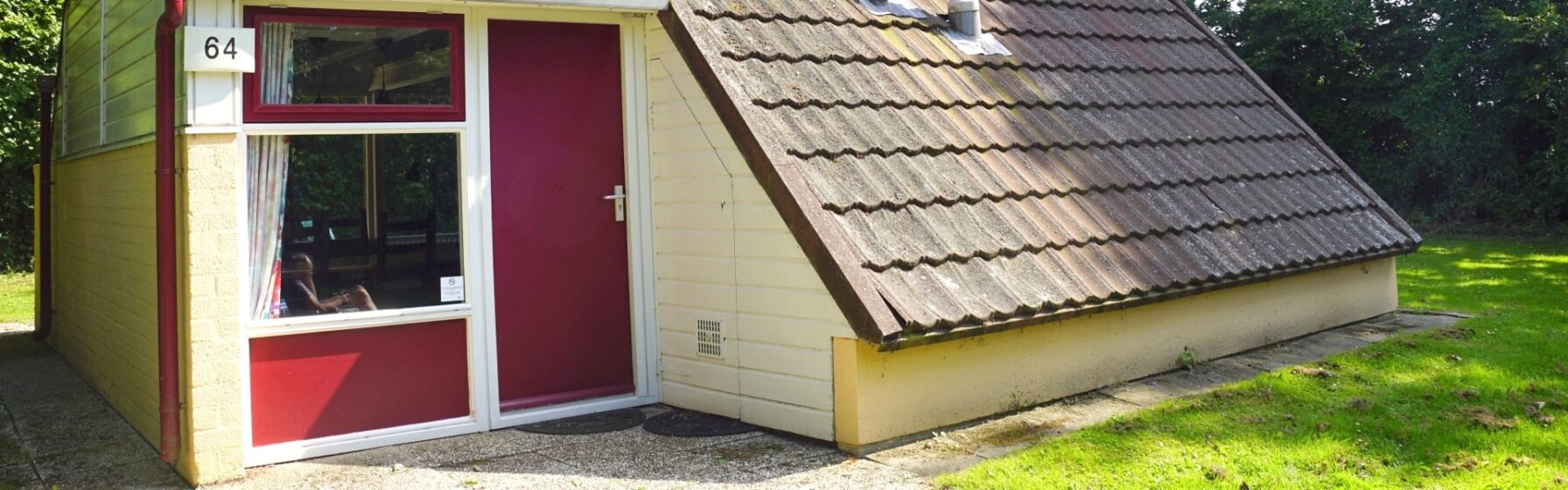
The map below shows the location of all high peaks of South Limburg in relation to Bungalow 64. The color indicates in which height category the peak falls. Red are the highest peaks over 300 meters, orange are the peaks between 200 and 300 meters, yellow are the peaks between 100 and 200 meters and green are peaks below 100 meters. Click on a peak to learn more about specific hill features and some of the characteristics of the ascent by bike, road bike, or mountain bike.
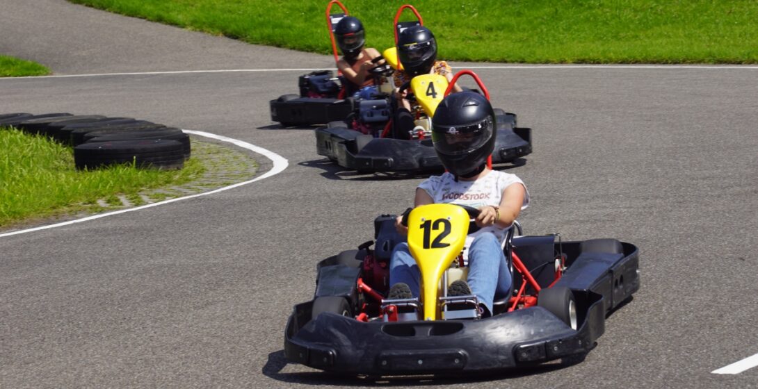
Karting in the open air of the Limburg hills is a unique experience at a 10-minute drive from Bungalow 64. You do not need to have kart experience to participate. For the children there are children’s karts and there is also a duo kart, on which someone can ride. You can find more information and book a heat on the Outdoor Karting Vaals website.
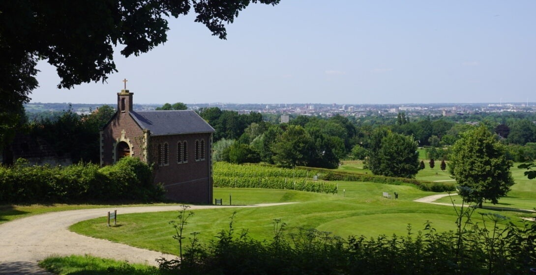
The walk starts in Bemelen. The walk then takes you along the edges of Maastricht to Berg, before ending again in Bemelen. On the way you pass the Mergelwand in Bemelen. there are beautiful views over Maastricht, the walk goes along the Heerde estate and the garden of the crosses at Cadier en Keer and over the golf course of Cadier en Keer (Short Golf Het Rijk van Margraten). Click here to view the route in Google Maps.
A nice walk from Bungalow 64 to Overeys and which largely follows the Eyserbeek basin. The walk passes Castle Goedenraad and the Old mill in Simpelveld, both national monuments, and then ends again at the bungalow park. Click here to view the route in Google Maps.
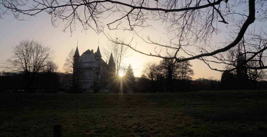
The walk starts opposite Schaloen Castle. You walk towards the Biebosch. In the Biebosch the walk takes you along the St Jansbosch, the Pruus Karel and the Gewand quarries. In Valkenburg you walk through the Geulpark to Kasteel Oost. At the castle you can take a break at the tavern and playground ‘t Koetshoes. The walk then takes you along the Geul to Schaloen Castle.
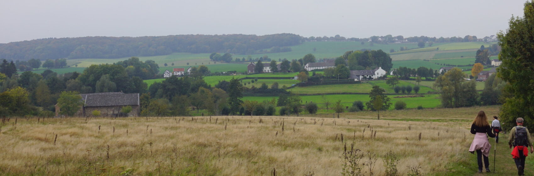
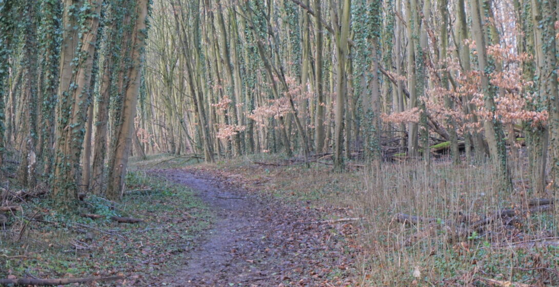
A nice walk directly from Bungalow 64. From the park you walk to the Platte Bosch. The Platte Bosch is, contrary to what the name suggests, a sloping forest. Via Platte Bosch you will arrive in the Kolmonderbosch. The Sint Benedictusberg Abbey borders this forest. From the Abbey the walk goes towards Nijswiller Castle. Then you walk back to the park via Baneheide.
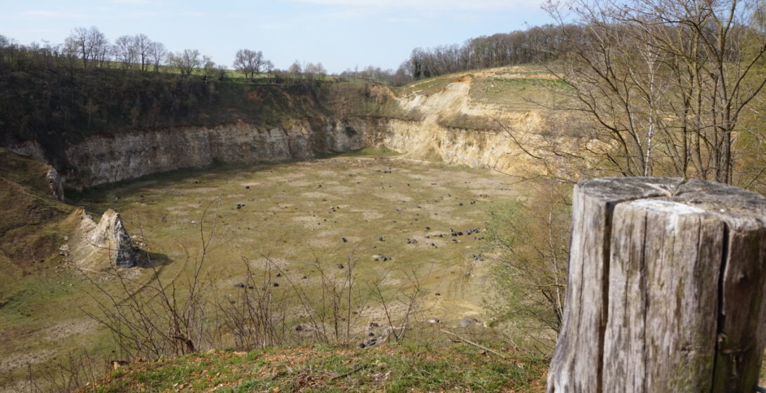
The walk starts at the remains of the German repair shop Bronsdaelgroeve. Walk along the channel to the Geulhemermolen. The walk goes through the De Dellen forest to the Curfs quarry. The path runs along the Curfs quarry. Halfway you have a nice view over the Curfs pit. The Curfs quarry is only accessible via a tunnel where guided tours are given occasionally. The walk continues through the forest. Along the Nachtegaal restaurant and Camping ‘t Geudal, opposite a historic lime kiln.
We use cookies to optimize our website and service.
Functional
Always active
De technische opslag of toegang is strikt noodzakelijk voor het legitieme doel het gebruik mogelijk te maken van een specifieke dienst waarom de abonnee of gebruiker uitdrukkelijk heeft gevraagd, of met als enig doel de uitvoering van de transmissie van een communicatie over een elektronisch communicatienetwerk.
Preferences
De technische opslag of toegang is noodzakelijk voor het legitieme doel voorkeuren op te slaan die niet door de abonnee of gebruiker zijn aangevraagd.
Statistics
De technische opslag of toegang die uitsluitend voor statistische doeleinden wordt gebruikt.De technische opslag of toegang die uitsluitend wordt gebruikt voor anonieme statistische doeleinden. Zonder dagvaarding, vrijwillige naleving door uw Internet Service Provider, of aanvullende gegevens van een derde partij, kan informatie die alleen voor dit doel wordt opgeslagen of opgehaald gewoonlijk niet worden gebruikt om je te identificeren.
Marketing
De technische opslag of toegang is nodig om gebruikersprofielen op te stellen voor het verzenden van reclame, of om de gebruiker op een website of over verschillende websites te volgen voor soortgelijke marketingdoeleinden.